
Guide · Village Map · Atlas
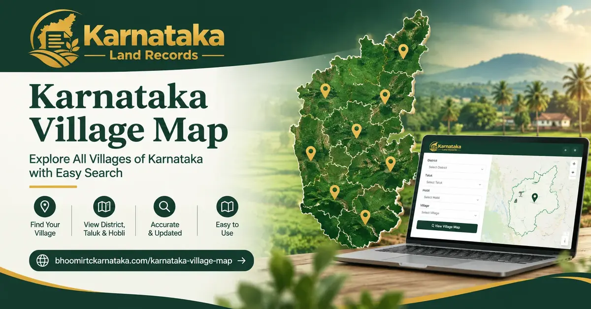
Karnataka Village Map: The One Document That Shows Your Plot’s Neighbors
A Bhoomi RTC Online record tells you who owns a plot. It doesn’t show you what’s around it. A Village Map does. It’s the one document that shows every survey number in a village at once, laid out next to each other, roads and water bodies included.
Most guides on this topic stop at “here’s how to download it.” Few explain what a Village Map actually is, how it differs from other survey documents, or where it falls short. This guide covers all three.
What is a Village Map, Exactly?
A Village Map is a single drawing of an entire village. It shows every surveyed plot, side by side, with its survey number marked. Roads, water bodies, and major landmarks appear on it too. It’s also called a Village Atlas.
Think of it this way. Your RTC tells you about one plot. Your survey sketch tells you about that one plot’s exact boundary. A Village Map zooms out. It shows the whole picture — your plot, and everything next to it.
A Village Map typically includes:
Where a Village Map Actually Comes From
Village Maps aren’t a separate government scheme. They’re a product of the same original settlement survey that created the Akarband and the Tippan for each individual plot. When surveyors first mapped a village decades ago, they recorded two things: the details of each parcel (which became the Akarband and Tippan), and how all those parcels fit together (which became the Village Map).
This matters, because it means a Village Map inherits the same age and quality issues as the individual survey records. Read our full Survey Documents guide for how Akarband, Tippan, and 11E sketches connect to this same original survey.
How to Get Your Village Map Online
Village Maps for digitized villages are viewable through Bhoomi’s Revenue Maps service — the same SSLR (Survey Settlement and Land Records) system used to view the Akarband, accessible from the official portal at landrecords.karnataka.gov.in.
Not every village has a clean digital map yet. As covered in our Survey Documents guide, digitization has been rolling out village by village, not all at once.
If Your Village Map Isn’t Online, or Looks Blurry
This happens more often than guides admit. If the online copy is missing, low-resolution, or won’t load:
Reading the Markings on Your Map
Village Maps use lines and shading to mark roads, streams (nalas), tanks, and kharab land — but exact symbol conventions can vary between older hand-drawn sheets and newer digitized ones.
Check the legend on your own map sheet. Rather than assuming a symbol’s meaning, check the legend printed on your specific map sheet — it’s the authoritative key for that document, and relying on a generic guide’s assumption here is exactly the kind of shortcut that causes real misreadings.
The One Thing Every Guide Skips: It’s Not Drawn to Exact Scale
Here’s something worth knowing before you rely on a Village Map for anything precise. Many of these maps come from older, hand-drawn settlement surveys. They’re accurate about which plots sit next to which — but they were never meant to be a millimeter-precise measuring tool.
If you need exact boundary measurements — for a fence, a dispute, or a partition — the Tippan / FMB for that specific survey number is the document with real bearings and measurements. Use the Village Map to understand layout and context. Use the Tippan when precision actually matters.
Village Map vs Survey Sketch vs RTC — Don’t Mix These Up
| Village Map | Survey Sketch / Tippan | RTC / Pahani | |
|---|---|---|---|
| Covers | The whole village at once | One specific plot | One specific plot |
| Shows | Layout, neighbors, roads, water bodies | Exact boundary measurements | Current ownership and revenue status |
| Best for | Seeing a plot in context | Precise boundary disputes | Everyday ownership checks |
| Precision | Indicative, not exact scale | High — original field measurements | Not applicable (no boundary data) |
None of these three can substitute for another. A Village Map won’t tell you who owns a plot. An RTC won’t show you what’s next door.
Who Actually Needs a Village Map?
Frequently Asked Questions
Is a Village Map the same as the RTC?
No. A Village Map shows land layout and boundaries. The RTC shows ownership and cultivation details for one specific plot. Read our Bhoomi RTC Online guide for how RTCs work.
Can I use a Village Map for property registration?
Not on its own. It offers useful supporting context, but registration relies on the Sale Deed and the specific plot’s survey documents, not the village-wide map.
Is a Village Map updated regularly?
It’s meant to be updated when a resurvey happens, or when SSLR digitizes a village. Not every village gets updated on the same schedule — check the map’s date before trusting it as current.
What if I find an error on my village’s map?
Report it to the local Revenue Office or the Taluk Survey Office. They can note a correction or flag the area for a resurvey.
Do I need a Village Map to check municipal property tax status?
No. Village Maps apply to Bhoomi’s rural, revenue-land system. Municipal property tax status is tracked separately — see our Khata Extract guide for how that works.
Why does my Village Map look hand-drawn or low-resolution?
Many Village Maps trace back to the original settlement survey, done decades ago on paper. Digitization has improved image quality for scanned copies, but it hasn’t corrected the original drawing’s precision — which is why it shouldn’t be used for exact measurements.
Disclaimer: This content is provided for informational purposes only and does not constitute legal advice. This platform is independent and not affiliated with, endorsed by, or connected to the Karnataka Survey Settlement and Land Records Department or the official Bhoomi Portal. Fees, forms, and processes mentioned above are subject to change — always verify current details on the official government portal.